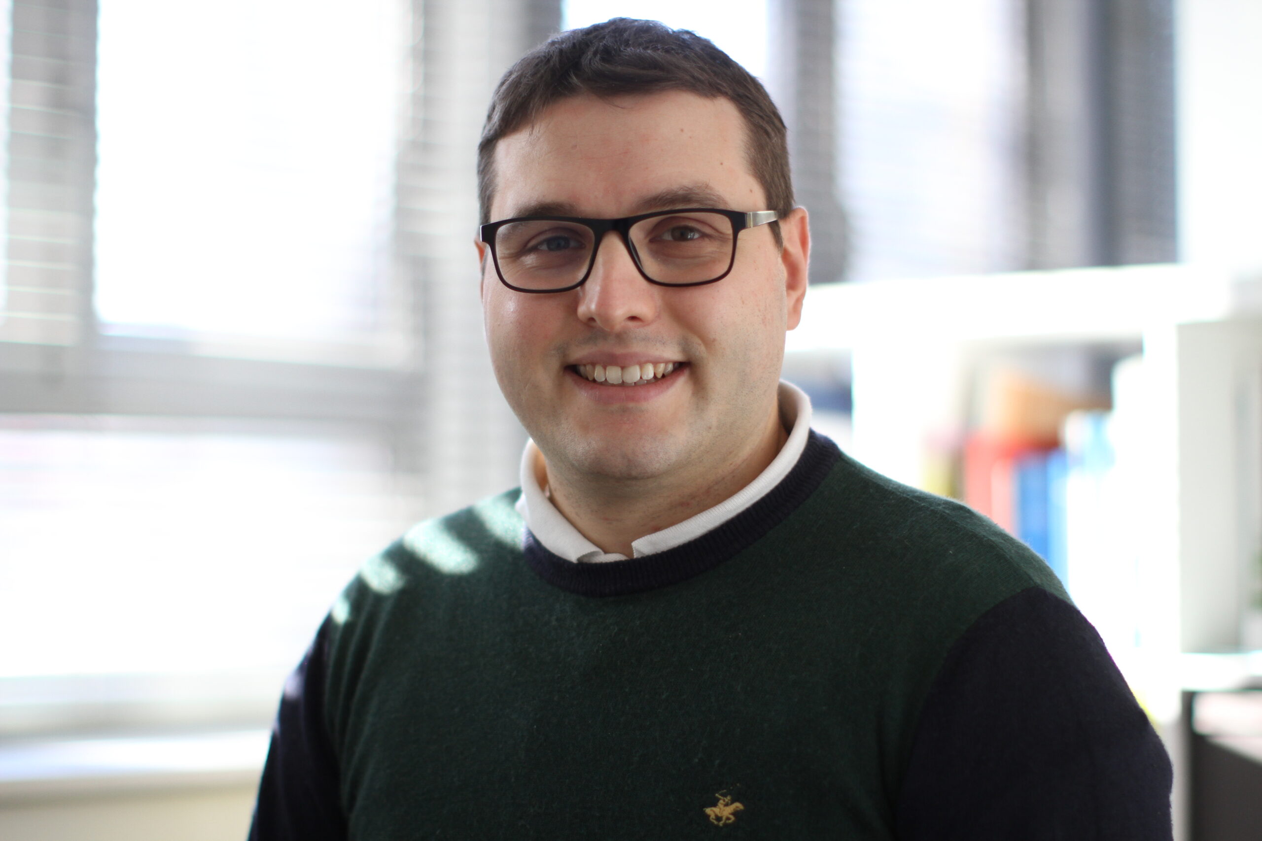
Valerio Mazzeschi holds a PhD in Infrastructures and Transport and a MSc in Environmental Engineering both at Sapienza University of Rome. As part of the Poliedra team since 2020, Valerio is involved in European mobility projects such as LIFE I-SharE (Innovative sharing solutions for full electric travels in small and medium size urban areas) and in technical assistance, in the mobility field, to public administrations.
1. Please tell us about Poliedra and your role in the project?
Poliedra is a consortium of Politecnico di Milano working on sustainability and on participation in decision processes regarding environmental and territorial issues, passenger and freight mobility and the enhancement of landscape and cultural heritage, also by means of innovative solutions and decision aiding tools. Poliedra offers services of technical assistance and consultancy and works in applied research and education with a strongly interdisciplinary approach. Poliedra is also mainly active in research projects which are overarching with respect to the specific competences of the Politecnico departments.
In nuMIDAS, my role is on the one hand to support AMAT (the agency of the municipality of Milan for environmental and territorial mobility issues) in the implementation of the use cases on sharing mobility related to the city of Milan, and on the other hand to define guidelines for the transferability of the methodologies used for the definition of the all six use cases. Indeed, the tools that were developed were tailored to the pilot cities. Now, the challenge, in order to increase the dissemination of the project results, is to define a common methodology able to implement the analysed use cases in other cities.
2. One of the nuMIDAS pilot cities is Milan, what do you consider are the main challenges the city is facing regarding mobility? Are there any interesting projects or initiatives which you are developing or have developed for the city?
Despite the fact that Milan is already a city where there are both a good public transport network and several sharing fleets, I believe that the most important challenges are decarbonisation and reducing the motorisation rate. Consequently, it is necessary, on the one hand, to increase the number of electric recharging points to facilitate the energy transition from endothermic to electric engines, and on the other hand, to promote soft mobility by implementing the construction of cycle paths and pedestrian areas.
As mobility planning goes hand in hand with urban planning, this new mobility planning is part of a possible new configuration of urban centres, which in the scientific literature is called the “15-minute city”. Such a new layout is, in fact, possible thanks to the widespread use of the bicycle as a means of both short trips and last-mile journeys.
Specifically, with regard to last-mile mobility, Poliedra has, in the past, carried out a project aimed precisely at improving bike-train-bike intermodal mobility (BiTiBi project), which led to the construction of several velostations in some railway stations on the suburban lines connecting Milan with its suburbs and surrounding municipalities.
3. In which ways is the nuMIDAS toolkit going to contribute to research institutions?
The nuMIDAS toolkit will be very important for the possibility of creating scenarios that are as close as possible to the local reality to which they apply. In this way, the results will be more relevant and more precise, providing a useful tool for analysing the local mobility system and visualising the possible future effects of policies on urban mobility.
This would allow researchers to study and compare different scenarios by analysing how the final outputs can vary as the initial conditions vary and what their consequences are on the transport system of the city.
In addition, many research institutes, including Poliedra, which provide technical assistance to local authorities, can use a tool that returns outputs that can support decisions on mobility issues such as parking management, fleet sizing, implementation of low emission zones, etc.
In conclusion, the toolkit, thanks to its visualisation in a dashboard, allows to deepen the analysis on mobility, resulting, consequently, a useful tool for decision support.
4. As a research institution, what do you see as the biggest challenges in the coming years with regard to the use of mobility data?
In the near future, thanks to the spread of Mobility as a Service (MaaS), there will be a need to manage and analyse data especially in real time in order to provide more and more up-to-date information to users. In this way, the user has the possibility to choose the best solution according to the current mobility situation. In addition, real-time data analysis can help public transport companies manage their fleet during peak times, providing more vehicles to meet momentary demand. Finally, data analysis can provide a much more detailed view of mobility in both time and space. In this way, origin/destination matrices can be more accurate, providing valuable information such as demand peaks to public decision makers, public transport managers, sharing service providers as well as transport and mobility researchers.


